Greenway Network
Find out about the Meath Greenway Network

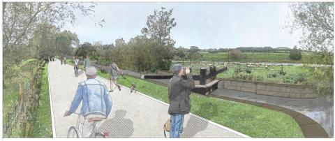
The Royal Canal Greenway is 130km of level towpath, ideal for walkers, runners and cyclists of all ages and stages. Starting in Maynooth, it follows the 200 year old canal all the way to Mullingar, it then continues onto Athlone via the old rail line greenway.
Approximately 22km of the Greenway is set in County Meath, with access points at Enfield, Longwood and Hill of Down. This section was completed and officially opened in December 2019. Storyboards and map-boards at the access points guide you along the way, with picnic areas and benches to pause and enjoy your surroundings.
The cycle route network aims to feed into the local and national tourism strategy by creating a tourism product which complements the existing natural, cultural and built heritage along the route. The cycle route has been identified as a significant marketing tool in the promotion of Ireland as a cycle destination and as part of the greater trans-European cycle route: EuroVelo 2: Capitals Route from Galway though the UK, Netherlands, Germany, Poland, Belarus and Russia as far as Moscow.

Over the last number of years Meath County Council have been developing a plan to deliver the Boyne Greenway and Navigation Restoration, which aims to provide 26km of premium walking and cycling route in the heart of Ireland's Ancient East and showcasing Meath's historic, cultural and scenic sites . Visit the Boyne Greenway, Navan to Oldbridge information website.

Boyne Valley to Lakelands County Greenway
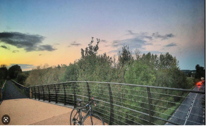
The overall proposed Greenway route extends 30kms from Navan to Kingscourt and follows the route of the old railway corridor.
The greenway passes through a number of local settlements which will encourage the use of the greenway once developed. The development of the disused railway line as an amenity for both walkers and cyclists will bring significant tourism and local recreational benefit to a rural area which connects to the largest urban centre in the County which has a population of 35,000 (2016 census). It will also extend the major tourist and amenity area of the Boyne Valley region and link into Irelands Ancient East route.
Progress to December 2022
The greenway is being delivered in a series of separate sections. The different sections are being opened to the public once completed. The following outlines the status of each section:
- Navan to Gibbstown - Open
- Gibbstown to Wilkinstown - Open
- Wilkinstown to Castletown - Under Construction
- Castletown to Nobber - Open
- Nobber to Kilmainhamwood - Under Construction
- Kilmainhamwood to Kingscourt - Under Construction
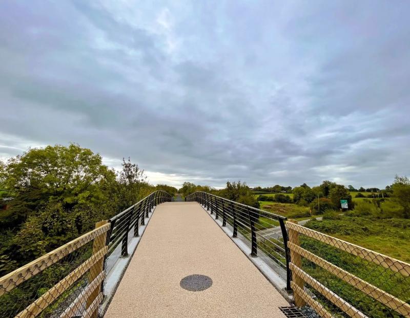
- Surface - The Royal Canal Greenway 3m in width and is generally level with a range of surface finishes from Quarry dust to macadam. Gradients are kept to a minimum and you’ll find plenty of places to rest along the way.
- Shared Paths – This is a shared use trail, please consider other users. Cycle at a safe speed. Cyclists, please give way to walkers, slow down and ring your bell when approaching.
- Dogs are to be kept on a short lead at all times - please clean up after them.
- Be Seen! – You should wear appropriate clothing for your activity and the weather.
- Road Crossings and Road Safety - On the Royal Canal Greenway you will be away from traffic as the trail is mostly off-road. However, at some locations, the Greenway crosses a main road. Please use crossing points provided and where there isn’t an official crossing point, please cross with care.
- Emergencies - In the unlikely event of an emergency dial 999 or 112 to contact Emergency Services.