Cycling and Walking Schemes
Find out about Cycling and Walking Schemes in Meath. Information was updated in 2023.

Meath County Council appointed Consultants Engineers, in 2020 to carry out a cycle network design for two sections of the R135 in Ashbourne, 1.8km to the North (Dunne Stores to the Pillo Roundabout} and 1.1km to the South (Alderbrook to the Ninemile Stone Roundabout). Once completed, this would complete the full length of the R135 between the Pillo Roundabout to the Nine Mile Stone Roundabout, with the middle 1.1km section already completed in 2016.
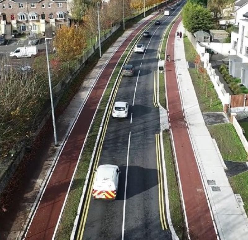
The proposed works introduces cycle lanes in both directions and increases the existing footpath widths on both sides of the road, making it more pedestrian and cyclist friendly. Upon completion of the Scheme, the new route will not only tie in with the 1.1km town centre section, but also to the newly completed works on Milltown Rd, and the previously completed works on the St" Johnswood Road, thus linking the heavily populated areas on both sides of Ashbourne town to the two main educational complex's in the town.
Benefits of the scheme include the following:
• New upgraded traffic signals.
• Upgrade existing signalized junction at the Ballybin road.
• New cycle tracks/lanes.
• Pedestrian & cyclist friendly treatments to minor arm junctions.
• Footpath improvements throughout. Dished footpaths and tactile paving at crossing locations.
• Reduced traffic lane widths (3m wide lanes) to encourage low traffic speeds.
• New carriageway surface course.
• New landscaping and street furniture.
• New public lighting.

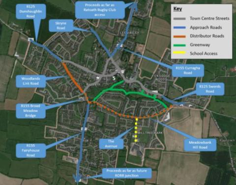
Meath County Council, with the National Transport Authority (NTA), propose to deliver a high-quality Pedestrian and Cycle Scheme within Ratoath.
The plan is to retrofit the existing layout and make it more pedestrian and cyclist-friendly. We'll do this by widening the footpaths, providing new pedestrian crossings (both uncontrolled and controlled), and upgrading bus stops. We'll add some street furniture and landscaping, and we'll resurface the road and footway pavements with new materials. We'll also remove unnecessary street signs and furniture and add in some cycle parking. All in all, this will create a street environment that prioritizes the safety and comfort of pedestrians and cyclists.

This proposed scheme aims to provide safe cycling and pedestrian facilities in the area. The plan is to create a route that stretches from the western end of the R156/7 Dunboyne Bypass, all the way to the Dublin County boundary on the southeastern side of Clonee, passing through the M3/Pace train station interchange.